UN
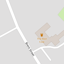
193 Brent Street
£ 330,000
Description
We don't have a Description for this property.
- Bedrooms
- 2
- Bathrooms
- 0
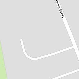


Leaflet © OpenStreetMap contributors
The heatmap indicates the level of crime in the area. The color of the heatmap indicates the crime severity and recency.
Metrics Year-on-Year
- Average area value
- 386,782.00 £Decreased by 21.38 %
- Average area rental value
- 1,100.00 £/moDecreased by 31.55 %
- Est rental Yield
- 3.41 %Decreased by 13.01 %
- Crime Rate
- 0.00 %
from 491,989.00 £
from 1,607.00 £/mo
from 3.92 %
from 0.00 %
Nearby Schools
| Name | Type | Ofsted | Distance |
|---|---|---|---|
| Brent Knoll Church Of England Primary School | Academy Converter | 1.15 KM | |
| East Brent Church Of England First School | Academy Converter | Good | 2.56 KM |
| Burnham-On-Sea Community Infant School | Community School | Outstanding | 3.07 KM |
| Burnham-On-Sea Building | Children's Centre Linked Site | 3.22 KM | |
| Lympsham Church Of England Academy | Academy Converter | Good | 3.26 KM |
Images
Nearby Streets
| Name | Average Price | Average Sqft | Distance |
|---|---|---|---|
| Station Road | £ 481,667 | 0 | 0.00 KM |
| Middle Street | £ 0 | 0 | 0.00 KM |
| Laurel Avenue | £ 0 | 0 | 0.00 KM |
| Crooked Lane | £ 0 | 0 | 0.00 KM |
Nearby Transport
| Name | NLC | TLC | Distance |
|---|---|---|---|
| Highbridge And Burnham | 3314 | HIG | 4.39 KM |
| Weston-Super-Mare | 3391 | WSM | 9.81 KM |
Nearby Listings
| Address | Price | Type | Score | Distance |
|---|---|---|---|---|
| Brent Street, Brent Knoll, Somerset, TA9 | £ 549,950 | BUY | 8 / 10 | 0.08 KM |
| Brent Street, Brent Knoll, Highbridge, Somerset, TA9 | £ 775,000 | BUY | 6 / 10 | 0.19 KM |
| Bakers Field, Brent Knoll, Highbridge, TA9 | £ 310,000 | BUY | 7 / 10 | 0.27 KM |
| Station Road, Brent Knoll | £ 460,000 | BUY | Unknown | 0.30 KM |
| Station Road, Brent Knoll, Somerset, TA9 | £ 450,000 | BUY | 6 / 10 | 0.47 KM |
Nearby Properties
| Address | Price | Distance |
|---|---|---|
| 154 Brent Street | £ 310,000 | 0.00 KM |
| 138 Brent Street | £ 80,000 | 0.00 KM |
| 169 Brent Street | £ 560,000 | 0.00 KM |
| 193 Brent Street | £ 330,000 | 0.00 KM |
| 152 Brent Street | £ 777,500 | 0.00 KM |